.png)
Published July 13, 2021
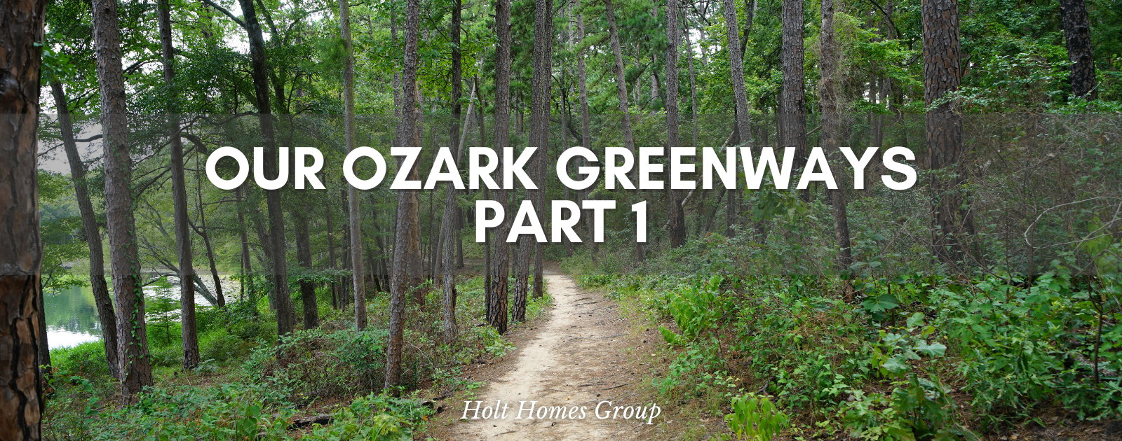
Get Out and Explore: Ozark Greenways Pt. 1

Get Outside and Explore: Ozark Greenways Trails, Pt. 1

Looking to get out of the house and explore? Our Ozark Greenway trails are some of the best in Southwest MIssouri and offer a little something for everyone! Biking, running or walking - all of the trails have something to keep the whole family wanting more exploring and nature!
The Ozark Greenways are a dynamic network of connected streams, parks, businesses and neighborhoods. The trails that exist and are continuing to be built are for everyone to use and provide opportunities for people to connect with each other, the outdoors and the community.

Length: 1.2 miles Terrain: Concrete paved surface
Fassnight Creek Greenway is in the heart of Springfield. It currently passes through Fassnight Park and goes under Campbell, Bennett and Jefferson avenues and connects by Phelps Grove Park. Fassnight Park has beautiful historic Ozarks rock architecture that are used on the park’s bridges and historic rock pool house and Phelps Grove Park is another gorgeous historic Springfield park that you will want to soak up time in.
Length: 6+ miles total Terrain: Gravel/asphalt segments in Ritter Springs Park, remainder is hard surface
This beautiful trail begins at Ritter Springs Park and travels underneath Highway 13 past David C. Murray Trailhead, Lost Hill Park, and ends at Truman Elementary School. This beautiful trail has many highlights including Lost Hill Park’s historic white farmhouse, rock chicken barn and the natural bridges and caves.
Length: 5 miles total Terrain: Both concrete and asphalt surface
The Galloway Creek Greenway runs from north to south in Southeast Springfield. It begins at Pershing Middle School and heads south through Sequiota Park and Galloway Village, then on to the Springfield Nature Center and ends at the James River bridge! This greenway was designated a National Recreation Trail in 2003 by the National Park Service and American Trails. This trail was the first in Missouri to receive this honor!

James River Greenway & Trail of Honor
Length: 3 miles total, for 2 segments Terrain: Mixed concrete and asphalt paved surfaces
Currently there are three - one mile segments to the James River Greenway! One of the main highlights along this trail is the Trail of Honor. This was created to encourage respectful reflection for our country’s veterans for those walking, riding and running the trail.
This trail is not for biking, walking or running - it’s for our water lovers. If you love to canoe, paddle board, kayak ...this is the place for you. The James River Water Trail is a 6-mile route that starts at the Joe Crighton Access to Springfield Lake boathouse. You can rent a canoe, kayak or paddleboard or bring your own!
Length: 3 miles total, for 2 segments Terrain: Mixed concrete and asphalt paved surfaces
Jordan Creek Greenway connects through the heart of Springfield - connecting parks, businesses and more. These trails are used for recreational use but they are also useful for those who bike, walk or wheel to work. This trail has multiple points of interest along it; Downtown Springfield, Jordan Valley Park, Cruse Dog Park and so much more!

Sac River Mountain Bike Trails
This 300-acre Springfield-Greene Country park offers over 14 miles of interconnecting single-track trail through the woods in northwest Springfield. It is popular with all mountain bikers, beginners to advanced. People also love this trail for trail running and hiking. Map reading is a recommended skill. All of the trails are marked with color blazes but it is easy to get turned around. There are weekly group rides that are offered seasonally! Don’t have a bike? No worries… you can rent a mountain bike for the evening!
This isn’t all of the greenways that Southwest Missouri has to offer! Make sure you check out Part 2 for more! You can find more information about all of the Ozark Greenway Trails HERE.
*All information from ozarkgreenway.org


or another way